INAUGURAL WORKSHOP ON GEOGRAPHIC INFORMATION SCIENCE AND REMOTE SENSING
The establishment of a separate unit for Geo Informatics within the Sri Lanka Air Force has been initiated as per the directives given by the Commander of the Air Force, Air Marshal Udeni Rajapaksa since Geo Informatics is an evolving technology, which includes Geographic Information Science (GIS) and Remote Sensing (RS) for the location-based data handling. Accordingly, forming a Geo Informatics team in Sri Lanka Air Force is in progress with the Officers and Airmen from different Branches and Trades.
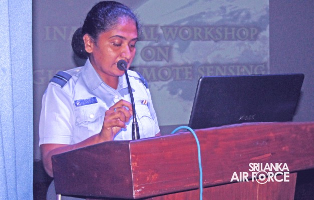
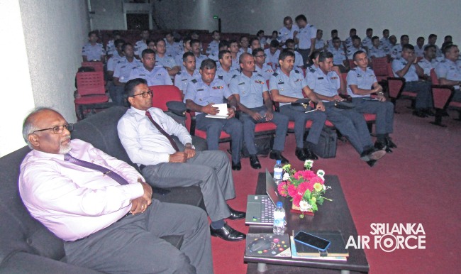
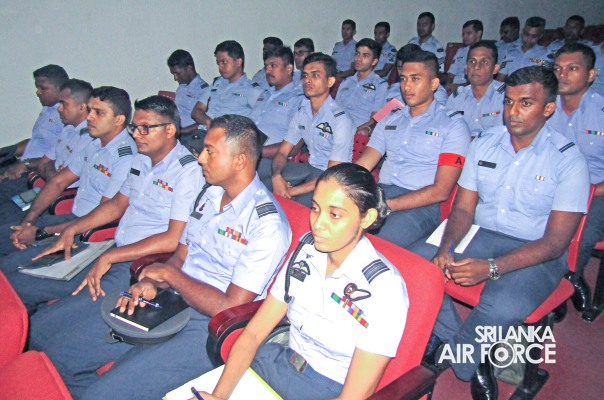
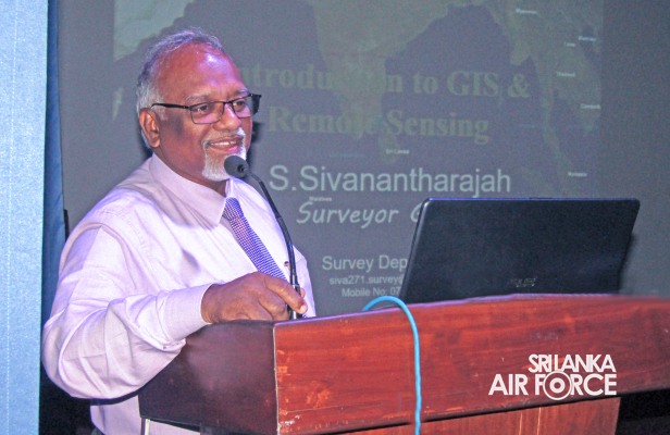
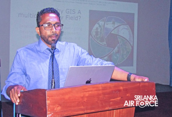
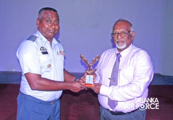
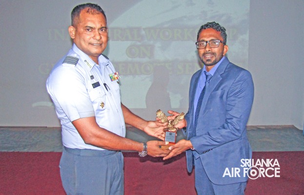
As the initial step, Research and Development Cell arranged an Inaugural Workshop on GIS and Remote Sensing which was successfully concluded at the Sri Lanka Air Force Trade Training School, Ekala yesterday (17 July 2023) and 60 participants from different Directorates attended the same. The Surveyor General Mr. S. Sivanandaraja and Senior lecturer from Sabaragamuwa University, Dr. Duminda Welikanna conducted the lectures on concepts, components and applications of Geographic Information Systems and Remote Sensing. The event was coordinated by the Commanding Officer No. 02 Information Technology Wing Ekala in liaison with acting Director Information Technology, Group Captain A Hettiarachchi and Commanding Officer SLAF Trade Training School Ekala, Group Captain UCJ Piyasena
As the initial step, Research and Development Cell arranged an Inaugural Workshop on GIS and Remote Sensing which was successfully concluded at the Sri Lanka Air Force Trade Training School, Ekala yesterday (17 July 2023) and 60 participants from different Directorates attended the same. The Surveyor General Mr. S. Sivanandaraja and Senior lecturer from Sabaragamuwa University, Dr. Duminda Welikanna conducted the lectures on concepts, components and applications of Geographic Information Systems and Remote Sensing. The event was coordinated by the Commanding Officer No. 02 Information Technology Wing Ekala in liaison with acting Director Information Technology, Group Captain A Hettiarachchi and Commanding Officer SLAF Trade Training School Ekala, Group Captain UCJ Piyasena